STEP 1

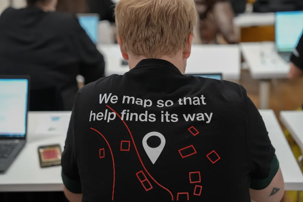
Remote mapping
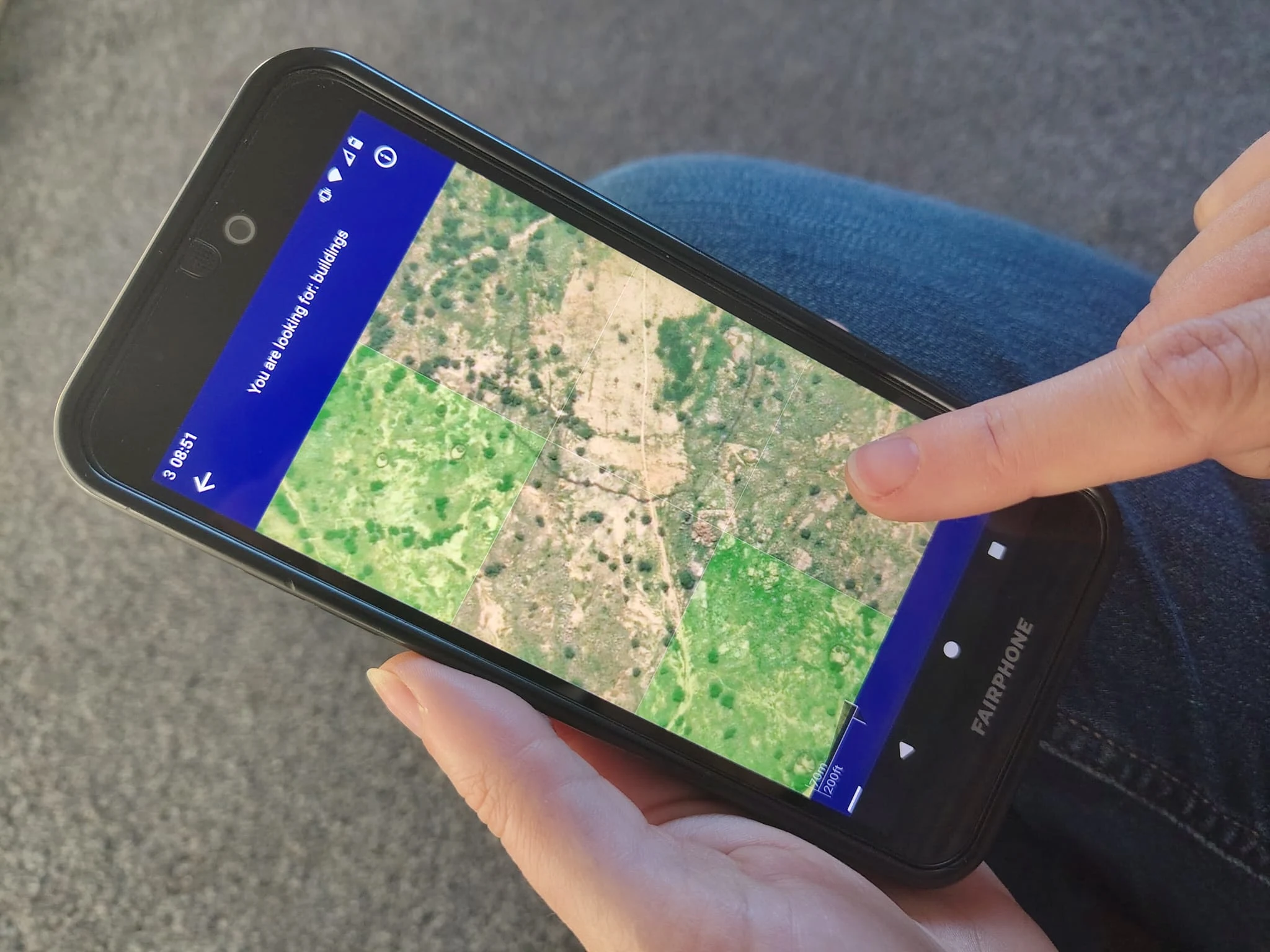
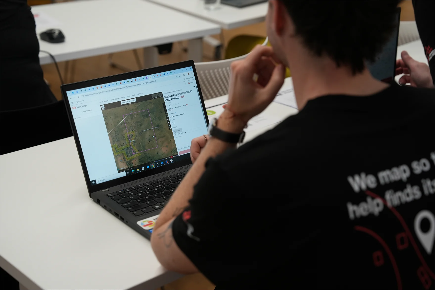
Remote volunteers trace satellite imagery into OpenStreetMap.
Remote volunteers trace satellite imagery into OpenStreetMap.
Community volunteers add local detail such as neighbourhoods, street names and evacuation centers.
Humanitarian organizations and local communities use the maps to plan risk reduction and disaster response.
Never mapped before? Don’t worry, it doesn’t take long to learn. The best way is at a mapathon, where volunteers get training and map together. Check the Events Calendar for upcoming Missing Maps events!
If you don’t see any events in your language or time, you can still start mapping anytime — visit our Get Involved page and choose a mapping tool. New events are added regularly!


Following the confirmation of an Ebola outbreak in the Ituri Province in the eastern Democratic Republic of the Congo on May 18, 2026, the Humanitarian OpenStreetMap Team (HOT) completed a needs assessment (size-up). The HOT Eastern and Southern Africa Hub, in collaboration with local mappers from OpenStreetMap RDC and Médecins Sans Frontières (MSF), launched HOT Tasking Manager projects from May 21. MapSwipe projects followed.

Our annual report provides an overview of activities undertaken by Missing Maps member organizations between September 2024 and October 2025.
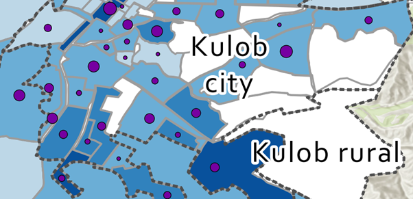
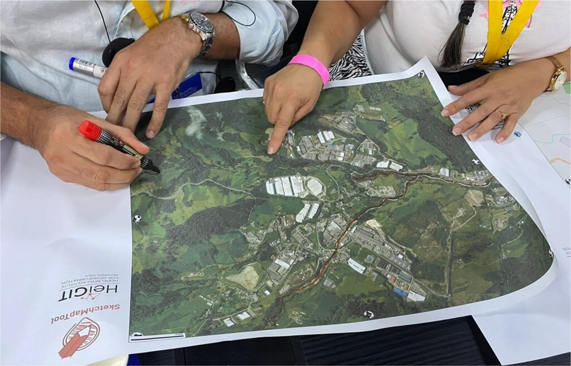
Remote mapping and local knowledge came together in Kulob, Tajikistan, to fill critical gaps in neighbourhood-level map data for a tuberculosis project. Through remote sessions and hand-drawn maps, MSF teams turned local knowledge into neighbourhood boundaries that had never been mapped before. The result is a map that supports tuberculosis screening and analysis and will continue to be useful for health teams working in the city.