STEP 1

Cartographie à distance
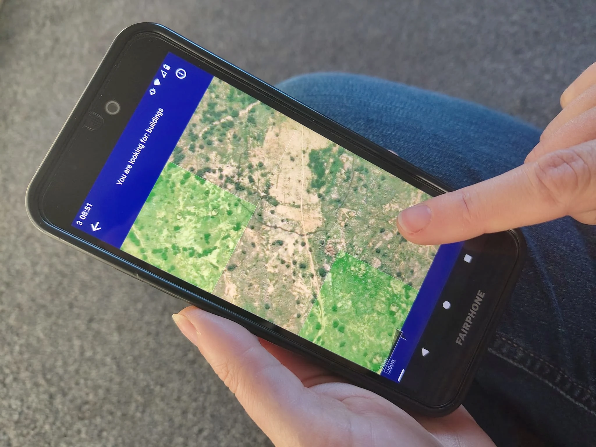
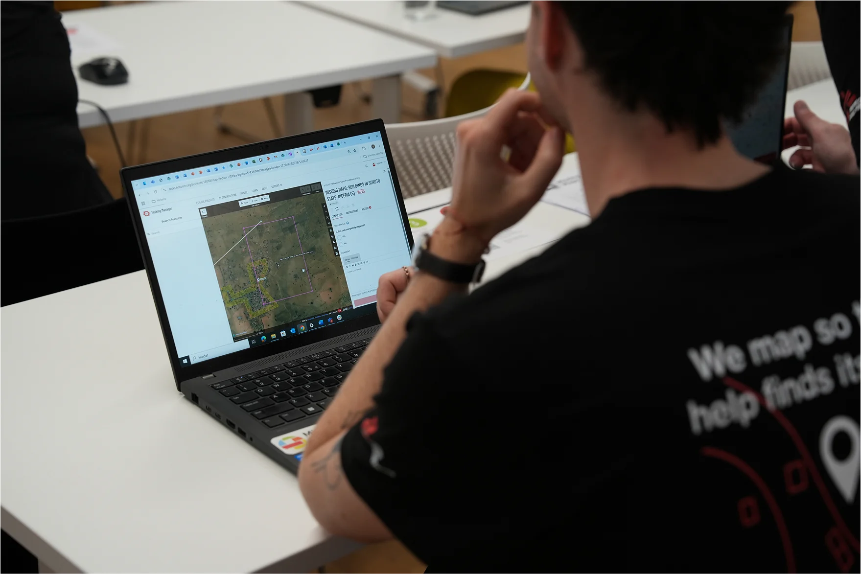
Des bénévoles tracent des éléments visibles sur des images satellites dans OpenStreetMap.


Des bénévoles tracent des éléments visibles sur des images satellites dans OpenStreetMap.
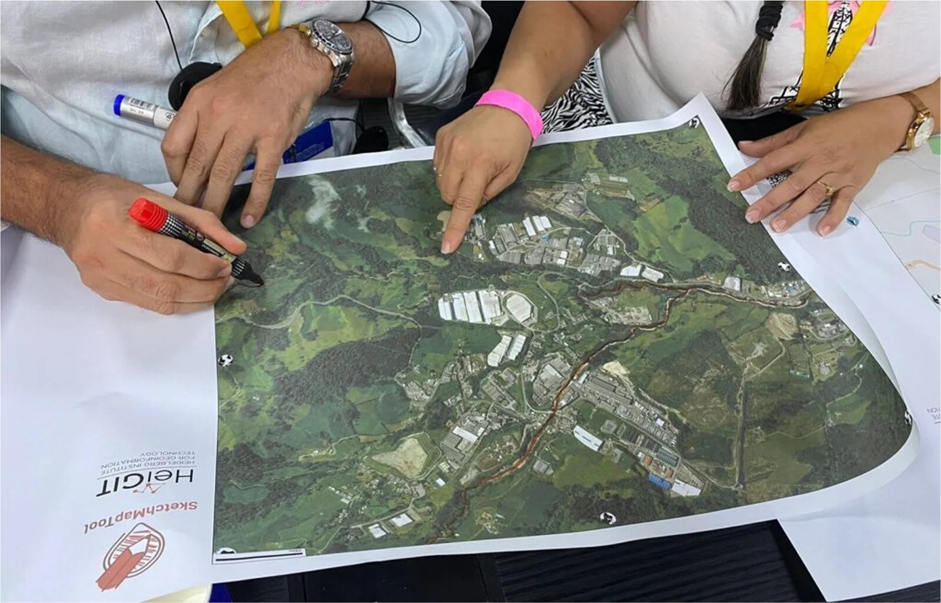
Des bénévoles locaux ajoutent des informations détaillées telles que les quartiers, les noms de rues et les centres d’évacuation.
Les organisations humanitaires et les communautés locales utilisent les cartes pour planifier la réduction des risques et les interventions en cas de catastrophe.
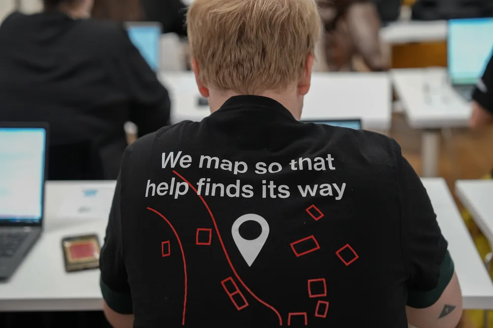
Vous débutez dans la cartographie ? Pas d’inquiétude, l’apprentissage est rapide. La meilleure façon de commencer est de participer à un mapathon, où les bénévoles sont formés et cartographient ensemble.
Consultez le calendrier des événements pour découvrir les prochains mapathons Missing Maps. Si aucun événement n’est disponible dans votre langue ou votre fuseau horaire, vous pouvez commencer à cartographier à tout moment grâce aux outils disponibles sur notre page « S’impliquer ».


Our annual report provides an overview of activities undertaken by Missing Maps member organizations between September 2024 and October 2025.
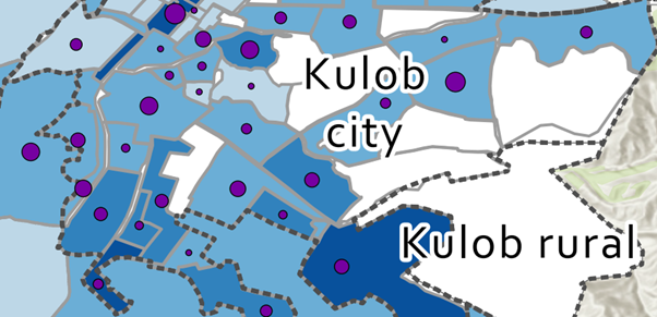
Remote mapping and local knowledge came together in Kulob, Tajikistan, to fill critical gaps in neighbourhood-level map data for a tuberculosis project. Through remote sessions and hand-drawn maps, MSF teams turned local knowledge into neighbourhood boundaries that had never been mapped before. The result is a map that supports tuberculosis screening and analysis and will continue to be useful for health teams working in the city.
The State of the Map Africa 2023 provided a space for a hybrid Missing Maps annual meeting on the edges of the conference in Yaoundé, as well as the first-ever Missing Maps annual report with highlights, successes and challenges.