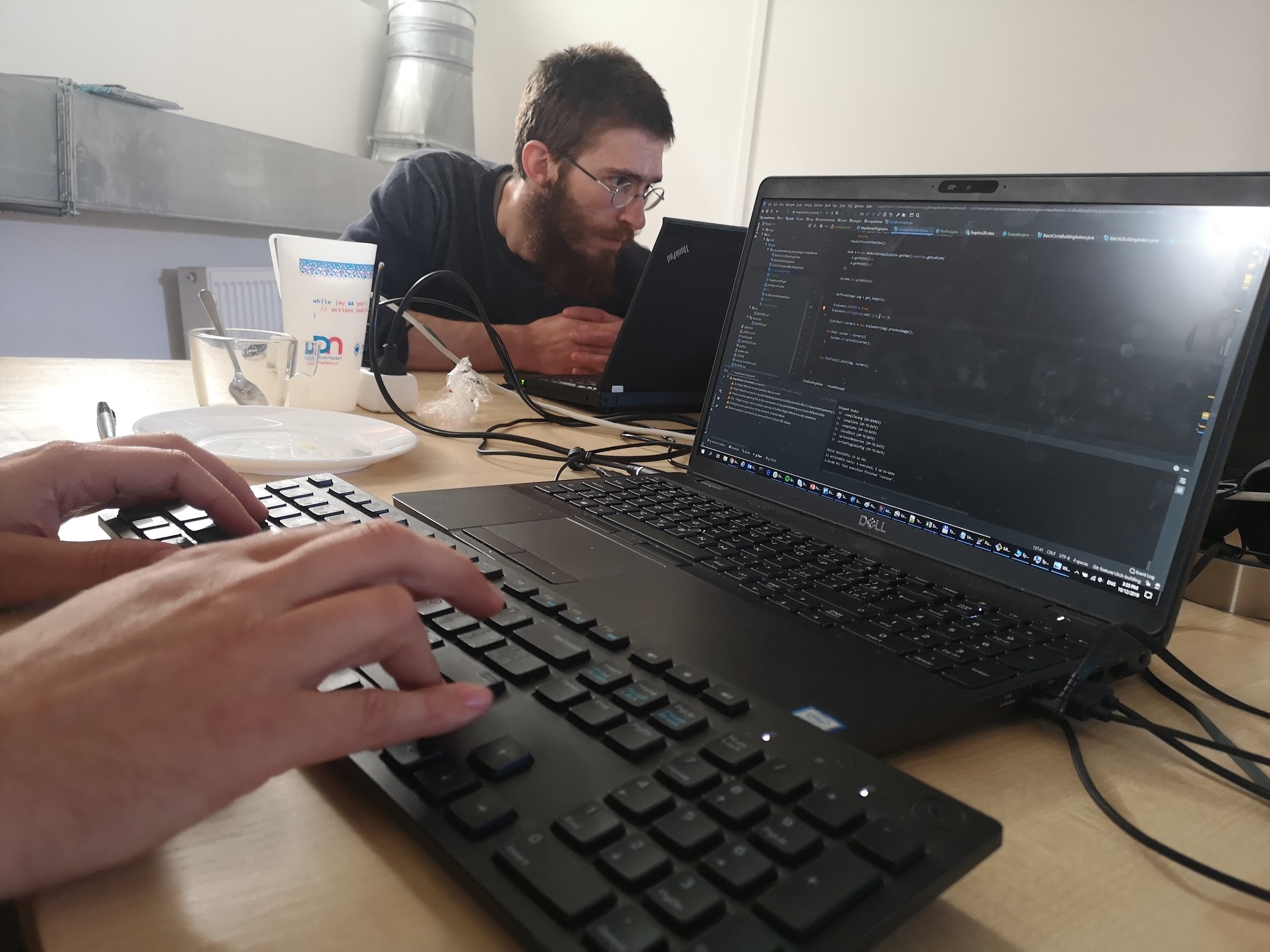
How many more lives could be safeguarded if a missing mapper only had to click once on a building, rather than once in each corner? What if last month’s release of the Mapswipe 2.0 app could also directly send identified buildings straight to OSM? These were some of the challenges posed to hackers this weekend by organisers of the first ever czech Missing Maps Hackathon in Plszen, Czech Republic.
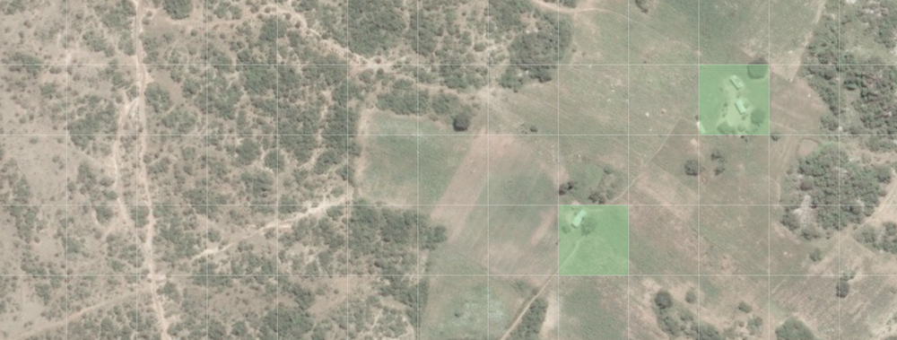
In 2015, MapSwipe began as a solution to a complex question: how do we better identify where communities and populations are, allowing mapping to be more efficient and effective? Using a simple mobile app, volunteers are able to swipe through a series of satellite images, tapping in areas where they find features. MapSwipe can be used anywhere, at any time, which provides an easy access point for individuals to contribute to the Missing Maps project without being restricted to their laptop. That was MapSwipe then – this is MapSwipe now.
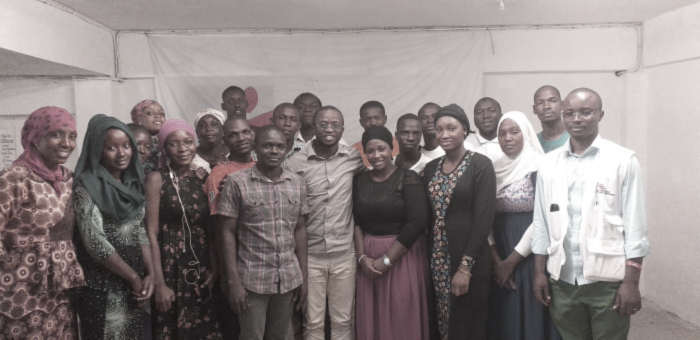
Through the Missing Maps project, Médecins Sans Frontières (MSF) supports initiatives like the 2-week mapathon that took place in Conakry, Guinea from May 8-22, 2019. This event was able to bring together up to 25 young people that with their volunteering work, helped MSF to get important geographical data in order to run operations on a massive area as the Kouroussa Prefecture in Guinea-Conakry. Here is a translation of the Blog of Emmanuel Kourouma from GeoSynapse in Guinea, about their collaboration with MSF.
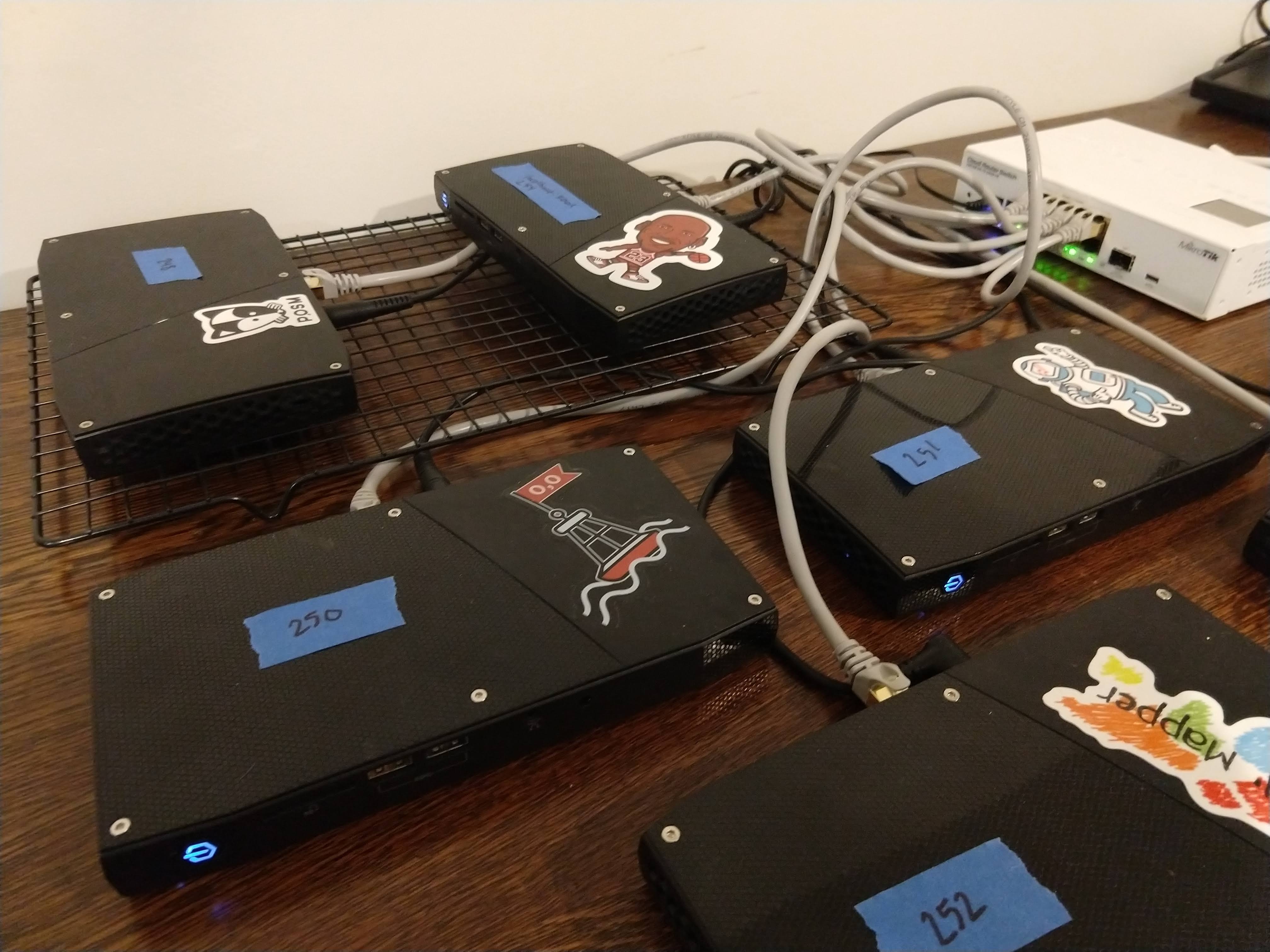
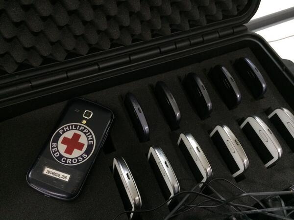
OpenDroneMap (ODM) is an open ecosystem of solutions for collecting, processing, analyzing and displaying aerial data. American Red Cross has used it when conducting drone mapping and trainings with the Philippines Red Cross, Haitian Red Cross, and Belize Red Cross. We’re excited to have been able to fund some recent improvements that create exciting opportunities when running ODM with POSM, while also benefiting the overall ODM project. The newest POSM release brings in the ODM updates and lets you distribute the processing of large image sets across a passel of POSMs.
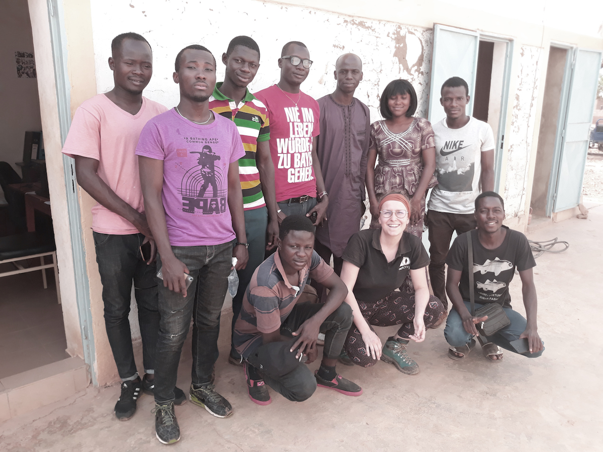
In March 2019, Missing Maps member CartONG carried out a 2-weeks mission in Burkina Faso in support of the Yaam Solidarité association. Here is a look back at the mobile data collection and mapping support we provided and the collaborative and sustainable approach we implemented.
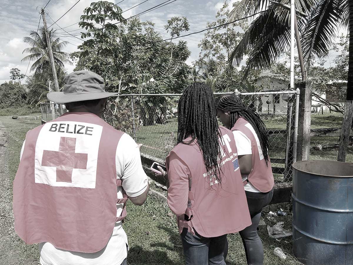
In September 2017, Ashley Schmeltzer, a GIS Officer with American Red Cross, led a community mapping training with Belize Red Cross. She was invited back, and was accompanied this time by her colleague Dan Joseph, to conduct a more advanced mapping training that included sessions on the use of drones for mapping.
The Open Data Kit (ODK) community produces free and open-source software for collecting, managing, and using data in resource-constrained environments. The various ODK tools enable cost effective, scalable, and user-friendly implementation of mobile data activities. The American Red Cross was able to support improvements to ODK.
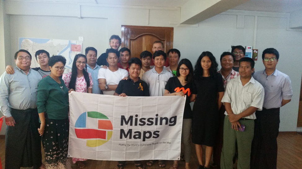
In May 2018, the American Red Cross GIS team trained members of One Map Myanmar and Phandeeyar in a weeklong data collection training (a training-of-trainers) in Yangon. After this, these trainers trained Red Cross volunteers in Mawlamyine, and then, they went to collect data for this project.
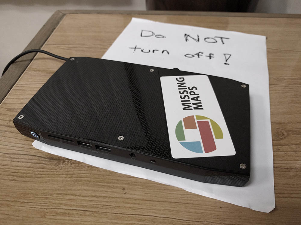
We’ve just released a new version of POSM with many exciting changes.