
Hurricane Dorian hit the Bahamas at the beginning of September 2019 and MapAction volunteers were on one of the first planes to land into Nassau after the devastating storm. MapAction aims to use data and maps to help aid agencies, governments and local partners to make informed decisions and deliver aid and emergency supplies to the right place at the right time. OpenStreetMap data plays a critical role in helping MapAction achieve these aims when responding to a natural disaster, such as Hurricane Dorian.
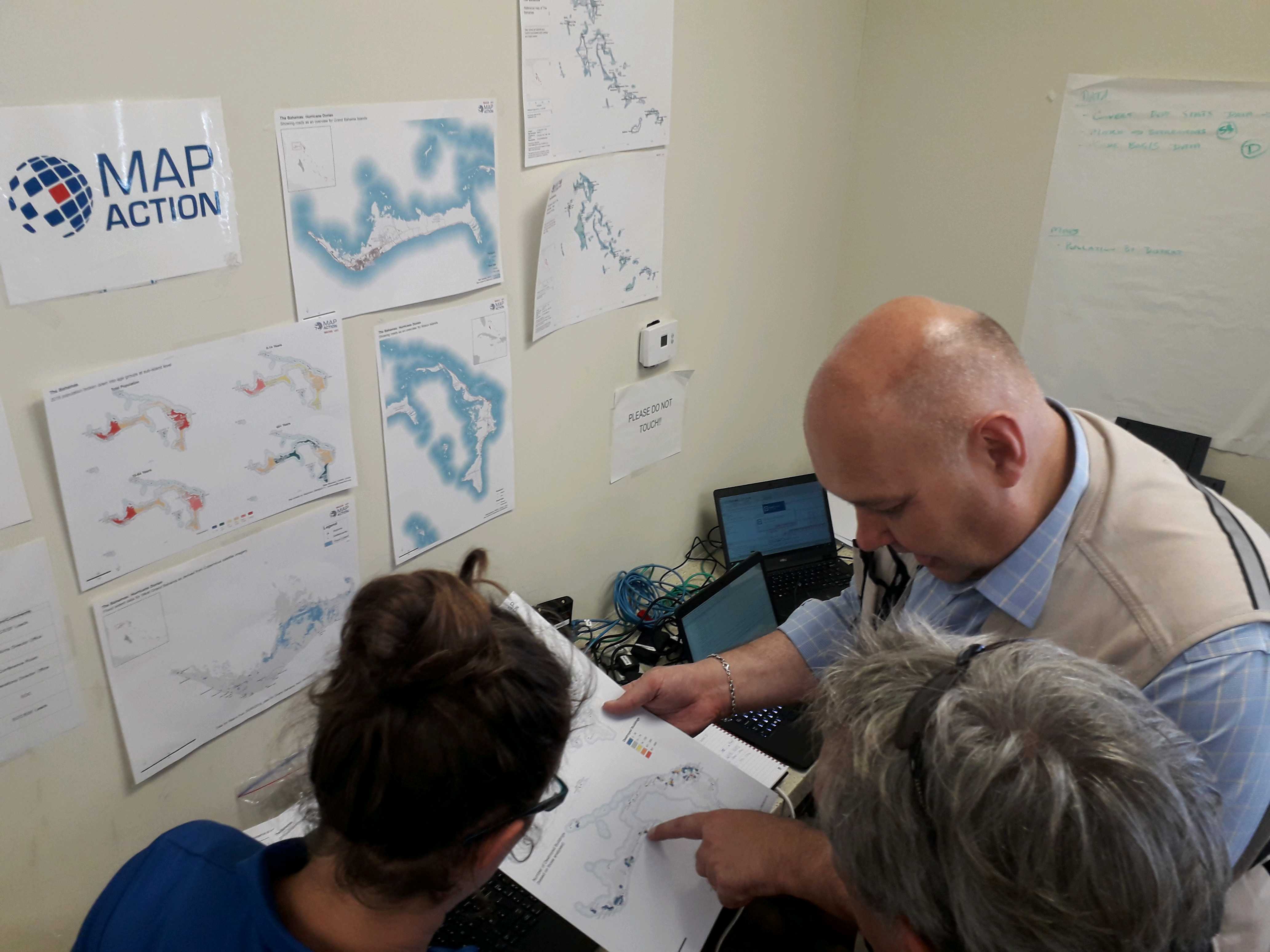
MapAction volunteers review a fresh resource.
MapAction used OSM data in the response to hurricane Dorian in three main ways:
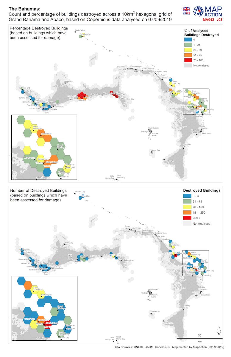
Count and percentage of buildings destroyed across Grand Bahama and Abaco.
OSM data is great because it is easy to download in a uniform format across the globe, which means that we can write scripts to automate some of our processes regardless of where in the world we are using the data. In the case of Hurricane Dorian this meant that we could start to create maps before we even left the UK which really helped in the first few days of the response and gave us more time to work on finding more data and producing further products to ensure that the aid got to where it was needed most. The currency of the data and coverage also means it can be used in the absence of, or to supplement national datasets and can be a life saver in areas with limited data. In the case of Dorian, there were many small islands, cays and settlements, some of which were not named in other datasets. By finding them in OSM we could pass the location information on to other agencies which allowed them to find and deliver aid to isolated communities. We also then fed the data back to the national agency so that they had a more complete dataset for the future.
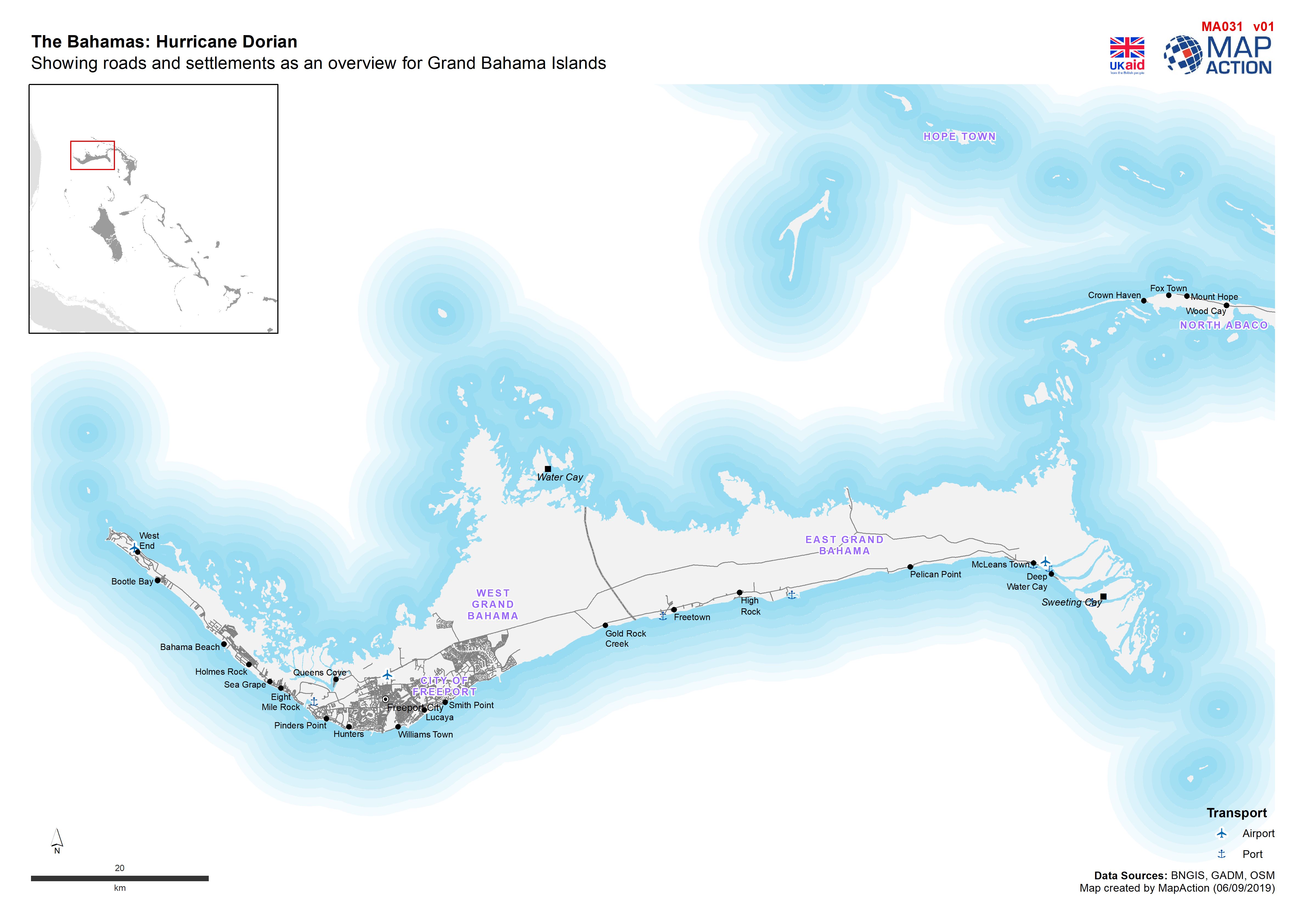
Roads and Settlements in Grand Bahama.
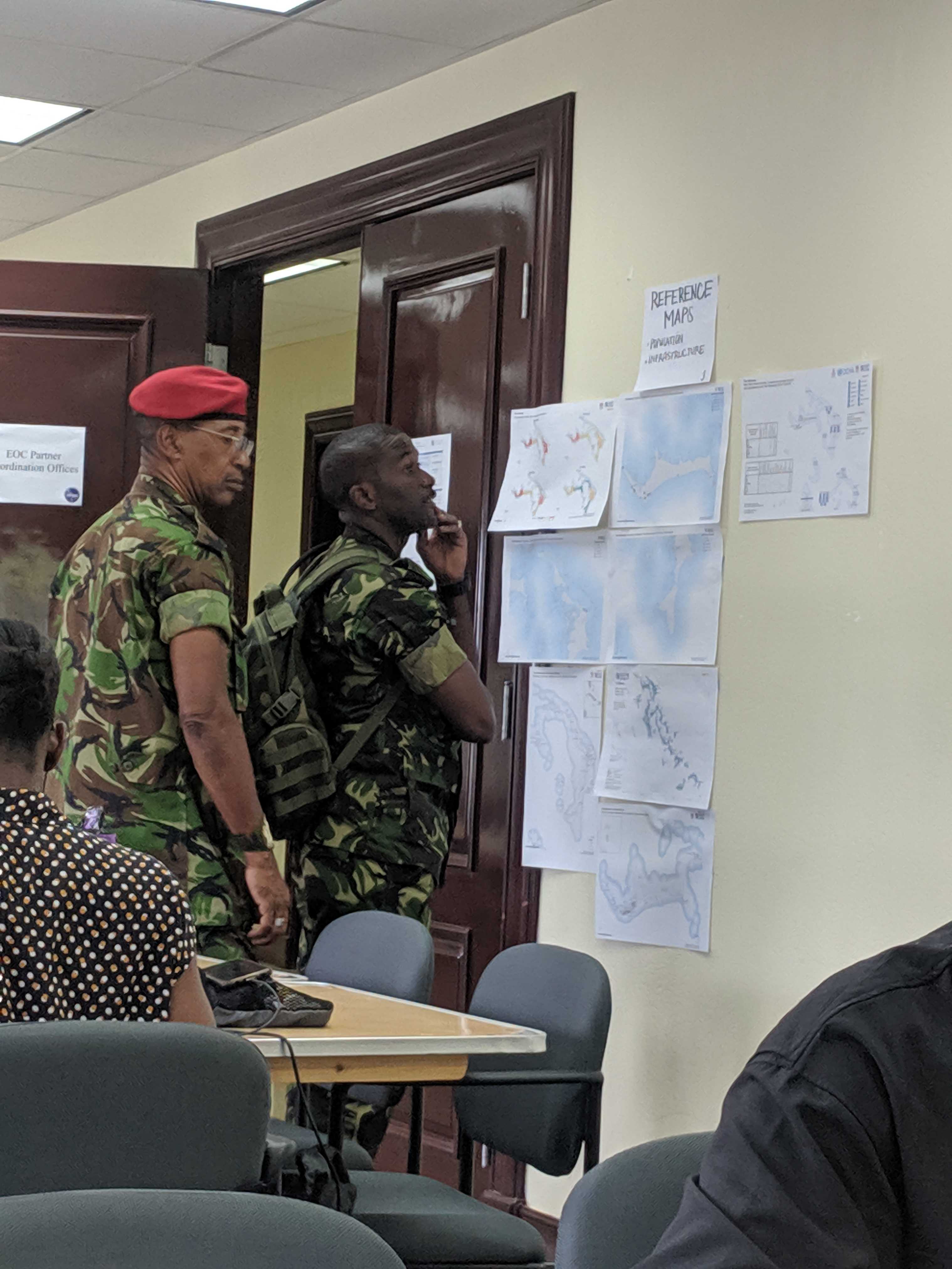
Reference maps are checked by many organizations, including local first responders.
The basemaps from OSM are also easily recognisable and understandable for a wide range of users which means that people can quickly and easily identify what they need on the map. In The Bahamas this was useful for a variety of reasons, e.g. simply to orientate oneself in country on arrival or for more complex rapid analysis such as identifying which settlements were in the hurricane’s path.
At MapAction we try to collect as much data as possible before we arrive in country and OSM is always one of the key data sources that we use. It is a very valuable resource and really helps MapAction achieve its aims of providing maps, data analysis and information management for humanitarian responders, to ensure that aid gets to the right place at the right time.