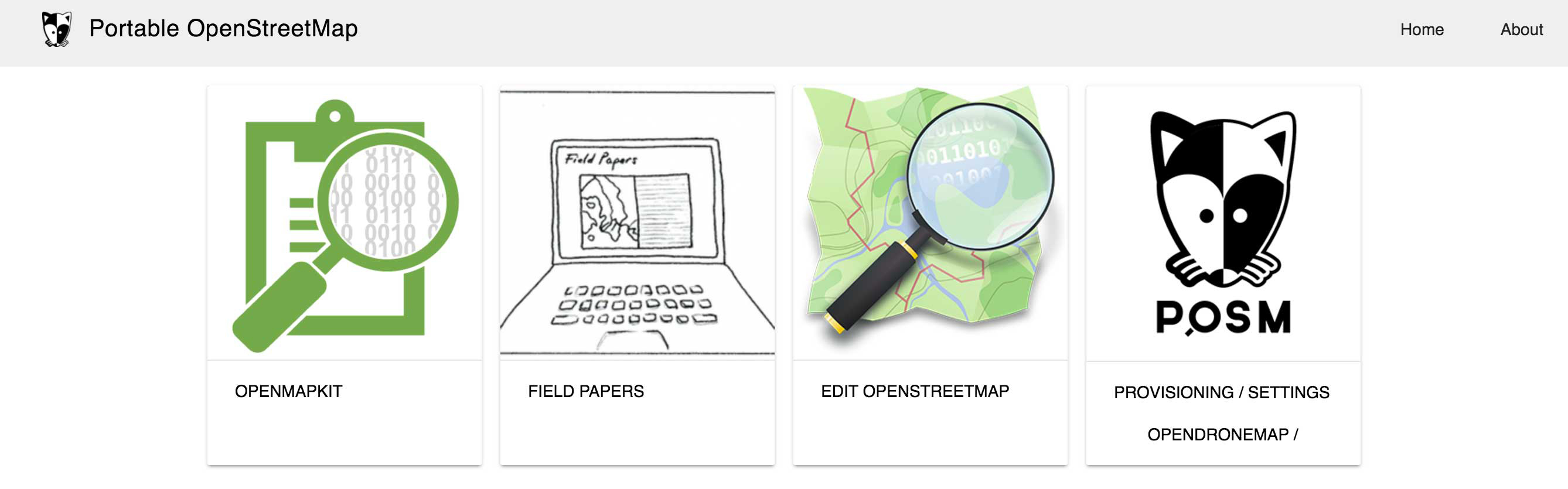
Portable OpenStreetMap (POSM) can run in the cloud. This walkthrough will help you get your own POSM up and running on Amazon EC2.
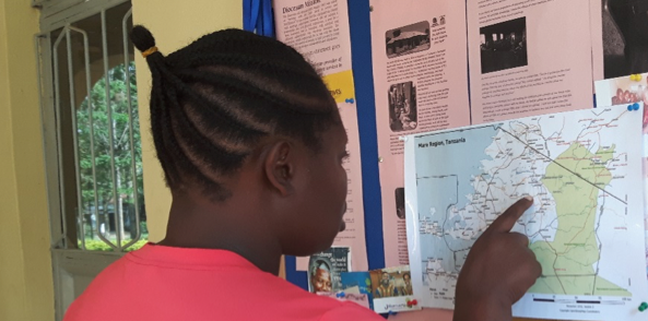
I first met Rhobi in a building site in Mugumu, Serengeti, Tanzania, in September 2014 where she was desperately trying to get a Safe House for girls refusing Female Genital Mutilation finished before the "cutting season" started in December. In the week we spent together I accompanied her and her team as they visited the surrounding villages, telling the villagers the dangers of FGM through debates, drama and dance. Rhobi almost bled to death from FGM in one of these villages as a 13 year old and has been a passionate advocate for womens' rights ever since.
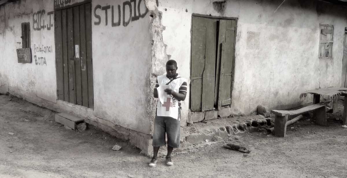
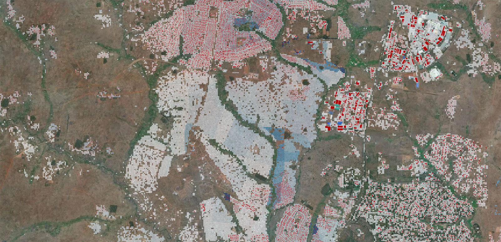
Wrapping up our largest undertaking since the start of the Missing Maps project was in West Africa. Covering an area the size of Switzerland, volunteers in Liberia, Guinea, and Sierra Leone visited over 7,000 communities in an area that saw the worst of the Ebola crisis in 2014 and 2015.
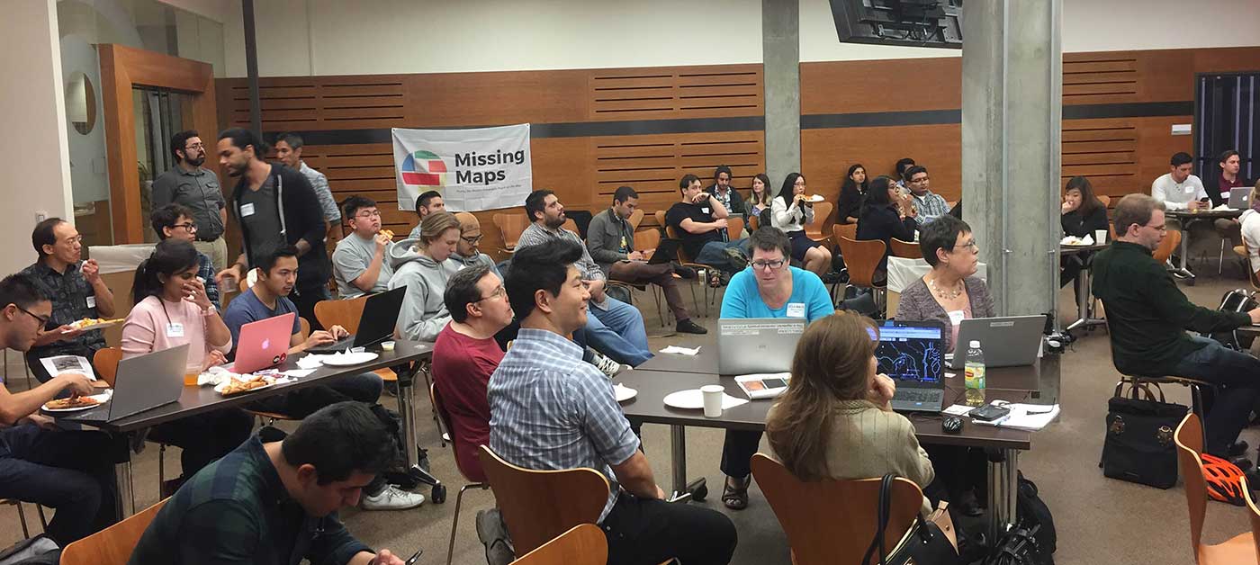
Since its launch in 2014, Missing Maps has engaged almost 20,000 mappers, helped 430+ public mapathons, put 29 million people on the map, and mapped an area equal to the size of Sweden. We've added many new partners to help try and map the world. Thanks to everyone out there who's been a part of this amazing project!
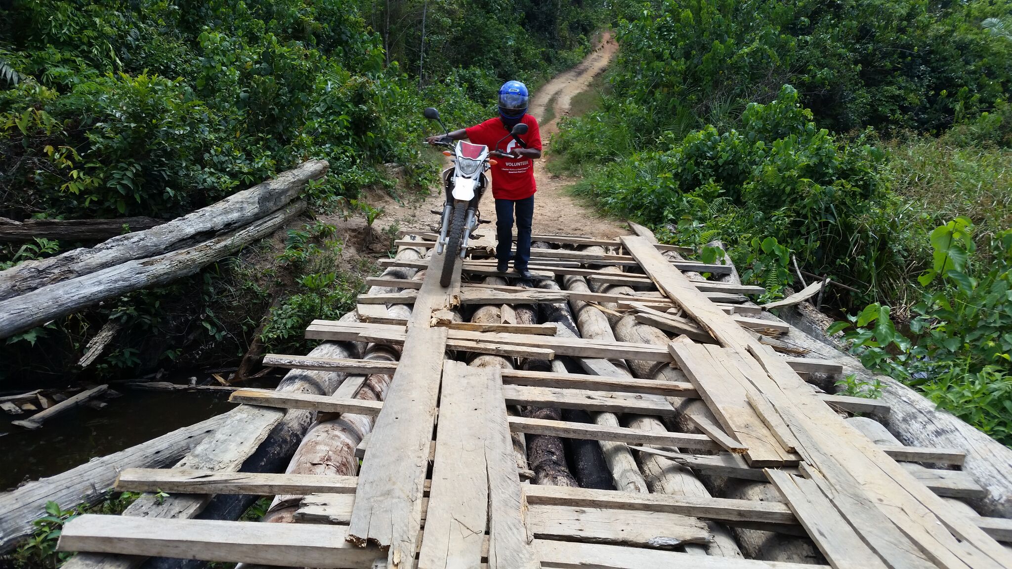
Red Cross volunteers on motorbikes logged 72,000 km of GPS tracks during border mapping in West Africa. We used these data to get under the clouds and add roads to OSM that can't be seen from satellite imagery. These roads connect some of the most remote communities in the region. Here's how we processed the dataset and what we were able to do with it.
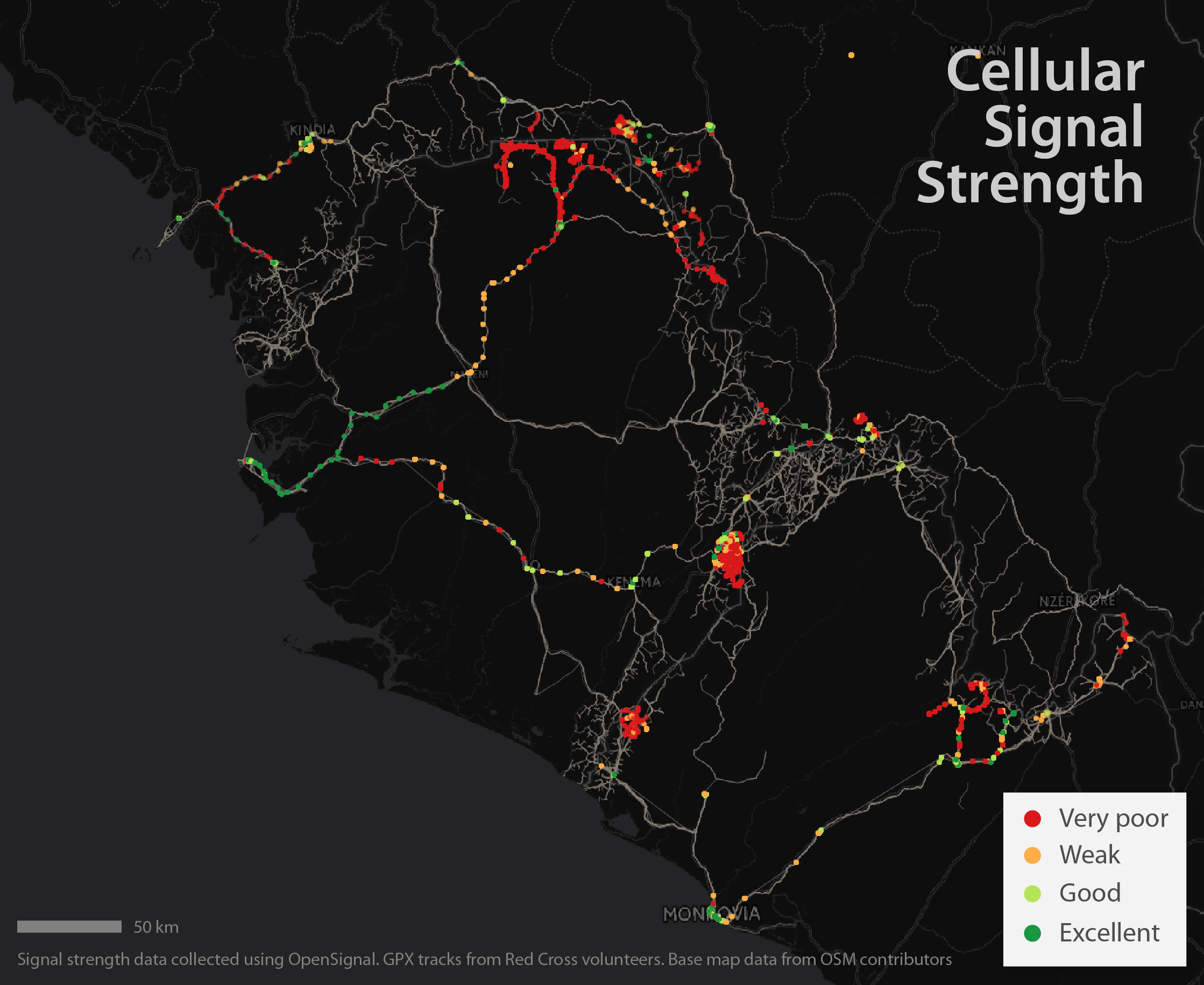
This past spring/summer, over 100 Red Cross volunteers conducted field mapping in the border regions of Guinea, Liberia, and Sierra Leone. In addition to the actual mapping, we also set the volunteers' phones to record their GPS tracks each day, and we set their phones to automatically collect cell signal strength data using OpenSignal, an app which crowdsources this information. We haven't come across much about working with OpenSignal data, so this post documents our workflow for using the data, the challenges we had, and our results.
Thank you for your incredible efforts organizing this year's OSM GeoWeek! In total 140 public and 150 private events took place in 42 countries. We made 1 million edits and added 861,865 buildings and 145,030 km of roads to OSM. Thanks to your hard work, almost 4,000 new mappers joined the OSM community!
In our humanitarian mission we are data omnivores, within licensing restrictions of course, constantly looking for datasets that can aid our mission and the larger mapping community. Collaborating with Facebook is an obvious step for us to take. Using the data created by Facebook volunteers will waste less time checking out a task to find an area with nothing to map.
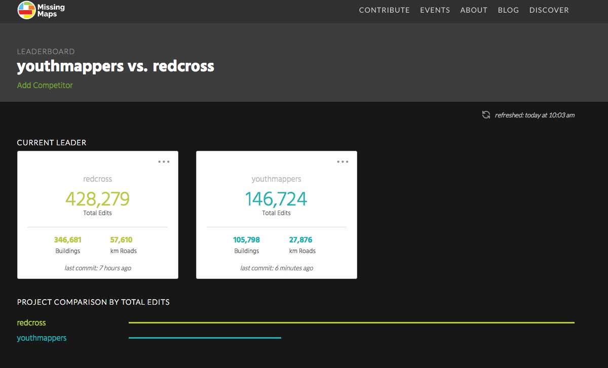
The next step in data analytics is coming to Missing Maps. Using the infrastructure we continue to build out on the Missing Maps leaderboards and osm-stats-api we are very happy to announce the creation of partner pages. Partner pages can be any sort of partner from some of Missing Maps corporate partners such as JP Morgan Chase to local groups such as Maptime.