Missing Maps organizations come together to learn and plan Year 5!
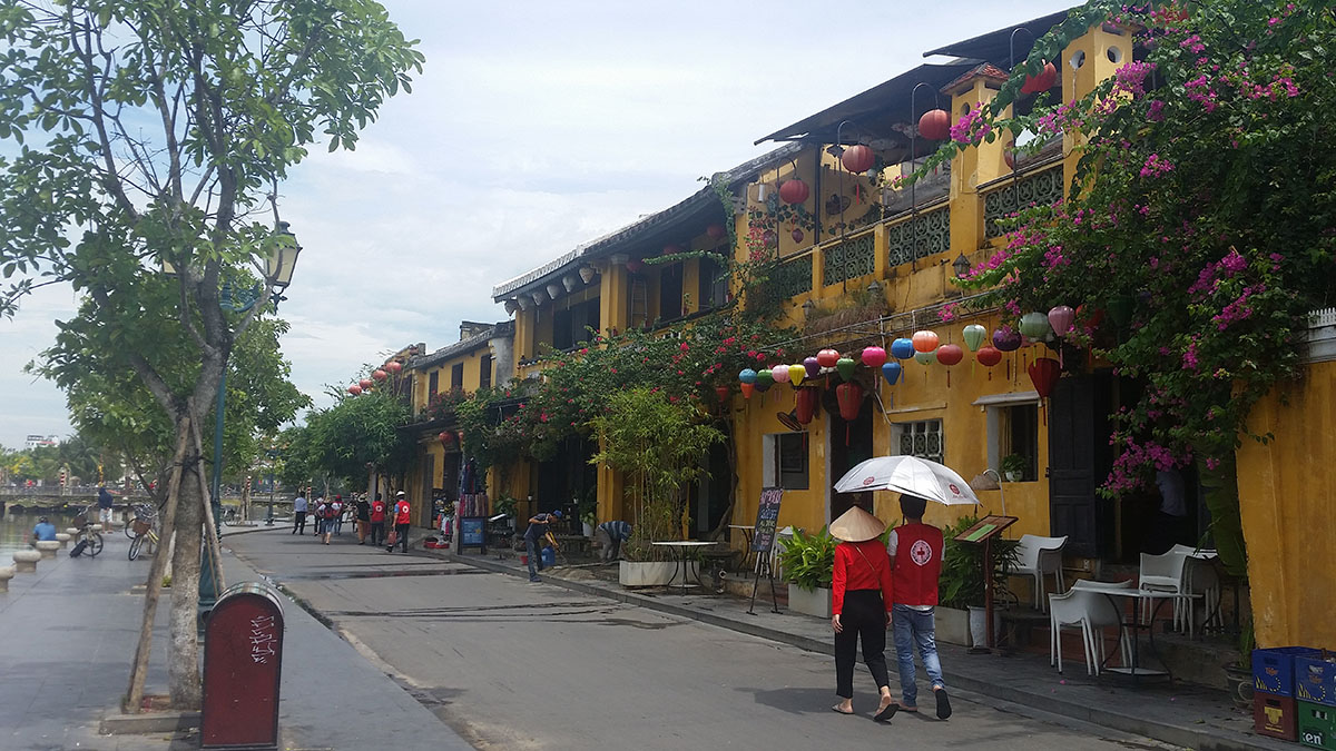
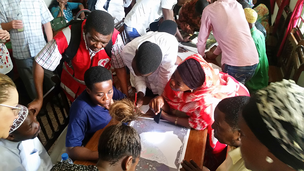
This summer, the American Red Cross GIS team held a weeklong training for the Viet Nam Red Cross Society (VNRC) and the American Red Cross Viet Nam Delegation to cover mobile data collection and community mapping best practices. Interested in hosting your own community mapping trip or just curious? Learn more about our training and agenda here.
MapSwipe volunteer Jess Cahill looks at current MapSwipe developments and how the crowdmapping app is helping survivors of sexual violence in Haiti.
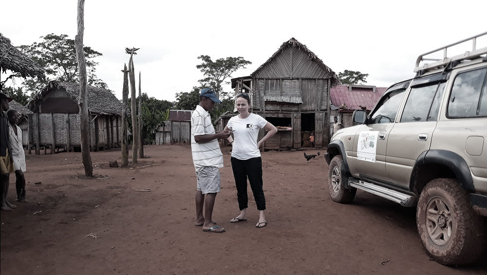
As part of a new natural Disaster Risk Reduction project launched in partnership with the French NGO Pompiers Humanitaires Français (PHF) and the local OpenStreetMap community, Missing Maps member CartONG implemented a 4-week mission in Madagascar in March 2018. The objectives: raising awareness on data sharing, collecting data in the field and producing maps!
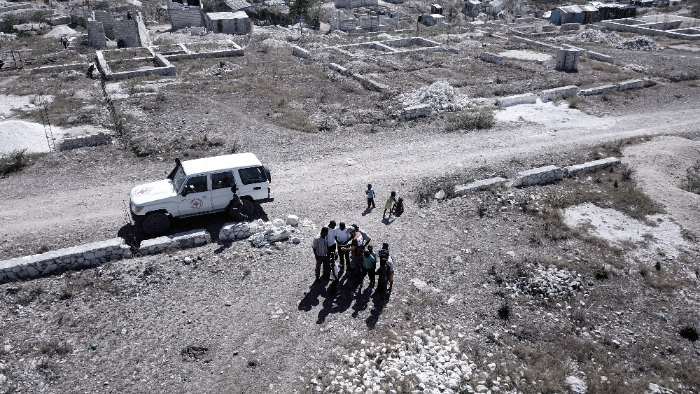
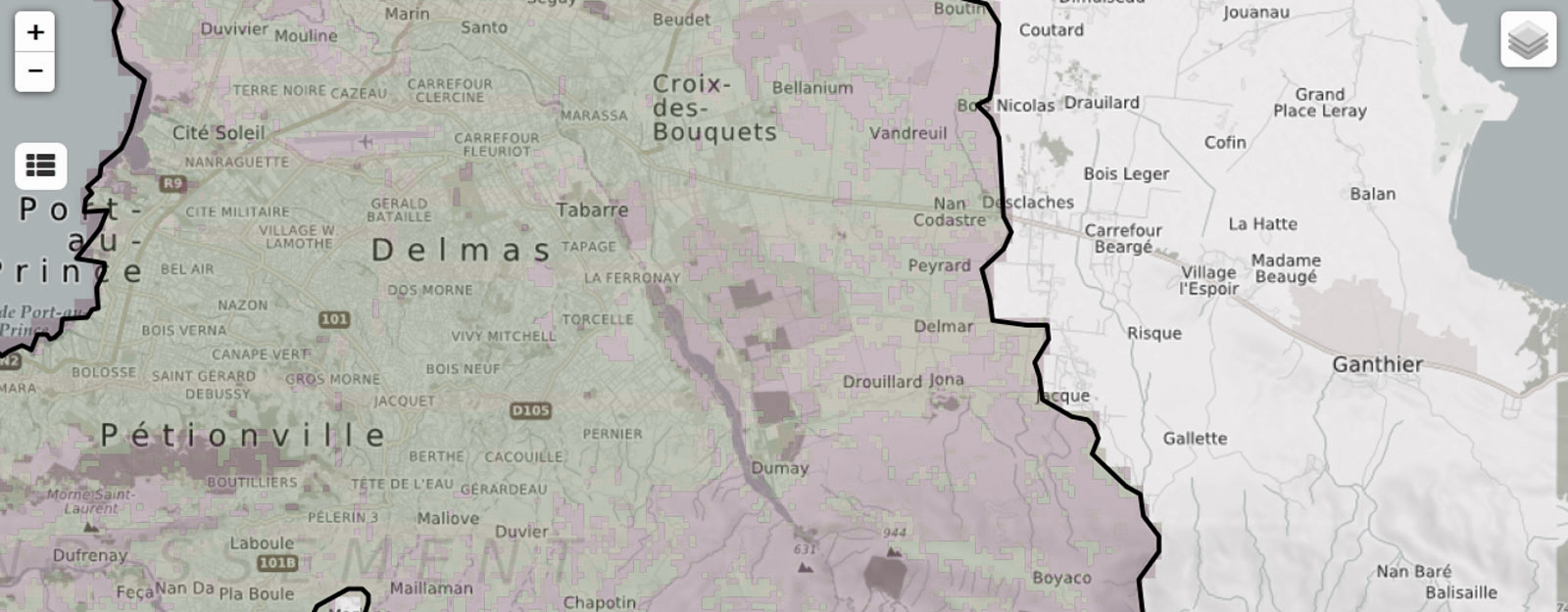
Canaan, one of the most populated areas in Haiti, continues to evolve and grow. In December 2017, the American Red Cross recently covered 35 square kilometers of this area with new drone imagery to assist with population estimates, disaster preparedness programming, and updating OpenStreetMap.
Microsoft Philianthropies funds improvements to Missing Maps leaderboards.
American Red Cross grants $25,000 to OpenSteetMap to ensure the resilience during disasters.
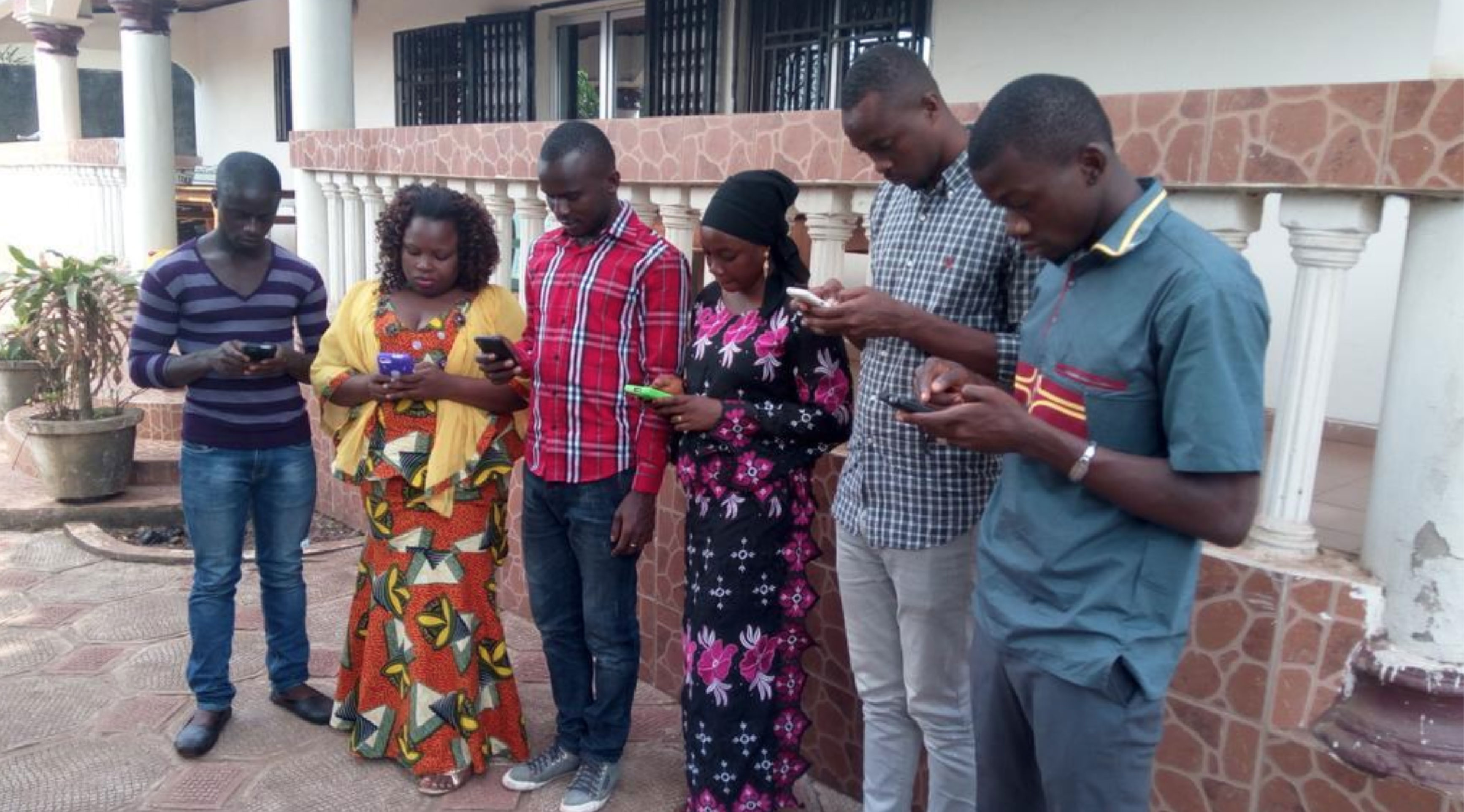
Thank you for your incredible efforts organizing this year's OSM GeoWeek!
Mapping in West Africa continues, thanks to dedicated OSM communities in Liberia, Guinea, and Sierra Leone. Here's what they are planning for GeoWeek 2017.