This week MapSwipe was awarded Best Mobile Innovation Supporting Emergency or Humanitarian Situations in the Tech4Good category at GSMA’s Global Mobile (GLOMO) awards.
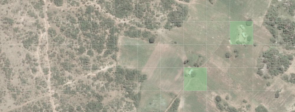
MapSwipe is a mobile app that allows anyone to contribute to Missing Maps using just their phone. Swipe through satellite imagery at home or on the go, identifying areas where there is crucial infrastructure, such as buildings and roads. The results help humanitarian organisations to take action where people need it most.

This week, MapSwipe was awarded Best Mobile Innovation Supporting Emergency or Humanitarian Situations in the Tech4Good category at GSMA’s Global Mobile (GLOMO) awards. As a volunteer-led and open-source project, built and maintained by a small but passionate team, we are extremely proud of this recognition amongst other esteemed projects in this category and the rest of the awards. The judges said:
”An exceptionally important project with clear results and impact across multiple geographies – definitely a stand-out winner showing clear innovation and potential.”

The award tops off what has been an exciting time for MapSwipe since the release of version 2.0 just five months ago. Our users have been racing through projects, often quicker than we can add them and have now swiped through a staggering 850 000km2 of imagery – that’s more than the area of Mozambique! We piloted a new project type aimed at detecting changes in areas, had new volunteers get involved with the design and development of the app, and have a vision of what next.
Why MapSwipe?
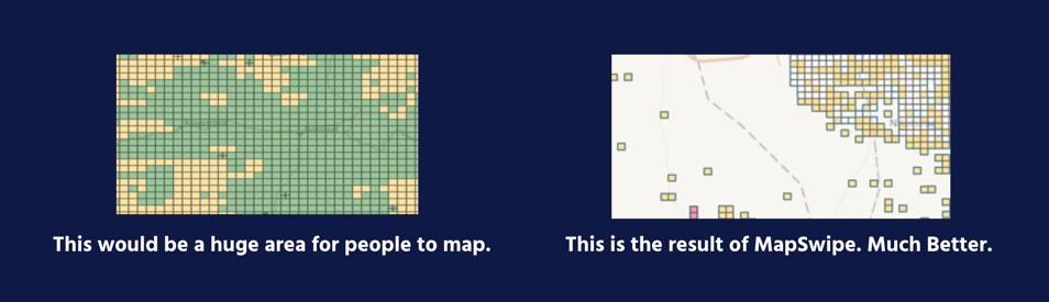
MapSwipe makes that mindless time on your phone productive. The results of swiping are used to focus Missing Maps volunteer’s efforts by filtering out areas with no features. For our experienced mappers, you’ll appreciate that MapSwipe reduces those times that you’ve spent ages looking through uninhabited forest or desert just looking for features to map.
The impact of this is much quicker mapping for you, our Missing Maps volunteers, who are actually adding data to OpenStreetMap and mapping communities that would otherwise not be on the map. For example, with the help of MapSwipe, in just five days, 186 volunteers mapped more than 1,000 sq. km of Port au Prince, Haiti, identifying communities that previously were not included on the map and allowing MSF to create a surveying plan that was truly representative of the population. You can read more here.
MapSwipe is community focused, volunteer led, created by MSF, hosted by the British Red Cross, analysed by HeiGIT, all in collaboration with HOT and as part of Missing Maps. Phew, that was a lot to fit into a sentence but it’s actually the perfect demonstration of this collaborative project that has minimal funding but a huge impact.
Get involved
Firstly, a huge “Thank You” to all our passionate volunteers that keep the app up and running and our users that keep on swiping day to day and help us fill the missing maps. It’s amazing how much has been achieved but we still want more mappers, more swipes, more developers, more reach and crucially more communities helped and more humanitarian responses improved.
If you don’t already have the app, download it now and start swiping! Your efforts really do help humanitarian organisations do their work. Equally, if you have a project that you think would benefit from using MapSwipe, please do get in touch via our website.
We have dreams of what we can achieve including new projects types that harness AI, a design refresh, multi-language support but we need developers to help us get this done. Check out our backlog on our GitHub or visit our website for more information or to get in touch, especially if you know React Native!
Thank you and keep on swiping!