
Sierra Leone Red Cross volunteers are methodically surveying the missing, misnamed, and unrepresented villages of the border region for the Post-Ebola Community Rebuild project. Spearheaded by Missing Maps, it is a fundamental vulnerability assessment of at-risk areas where epidemics and natural disasters can run and spread for weeks un-checked.
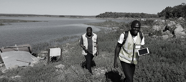
Drought has been a common occurence in Southern Africa due to climate variability, driven primarily by the El Niño Southern Oscillation in the Pacific Ocean. This significantly increases the vulnerability of people living in rural areas. Since 2011, the American Red Cross has partnered with the Zimbabwe Red Cross Society, to identify and mitigate hazards, and to implement resiliency projects in the region.
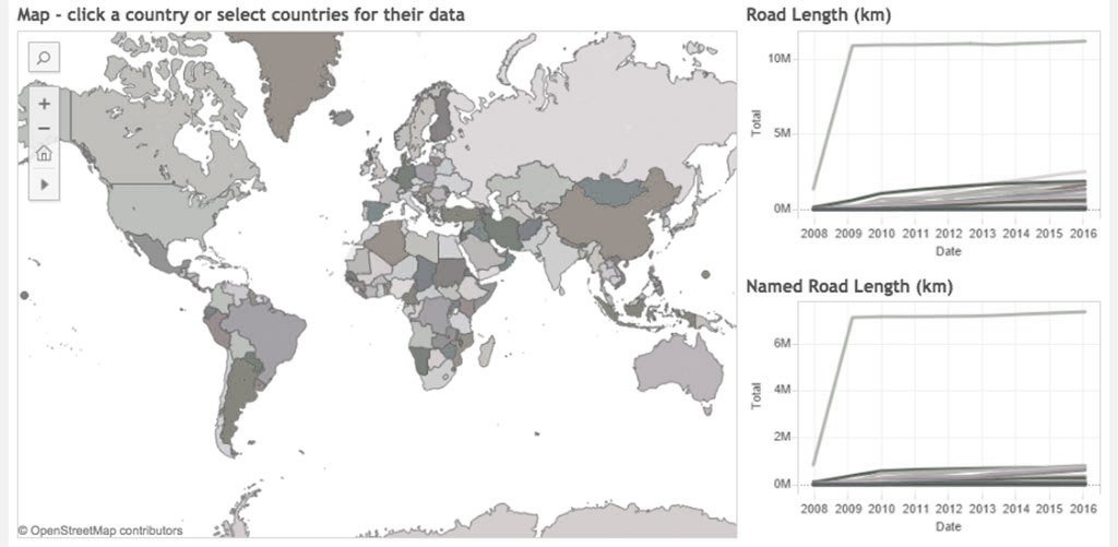
Building an understanding of gaps left to be mapped means understanding what and how local OSM communities have been able to map. Working with some partners we created a simple Tableau visualization that shows the growth of road data in OSM over the past eight years.
Welcome to the new Missing Maps Blog. Over nearly the last two years you almost 10,000 mappers have contributed over 22 million edits, almost 3 million buildings and 300,000 km of roads. These achievements are truly amazing. The new blog will focus on sharing some of the personal stories and major events happening with Missing Maps.
This past year, the American Red Cross undertook its biggest field effort to date: launching a mapping hub in West Africa and training local volunteers to field map over 5,000 villages in the border regions of Liberia, Guinea, and Sierra Leone. The mapping focuses on public health resources, different aspects of vulnerability, and amenities like markets that would draw people across borders – important information to understand if another Ebola outbreak were to occur.
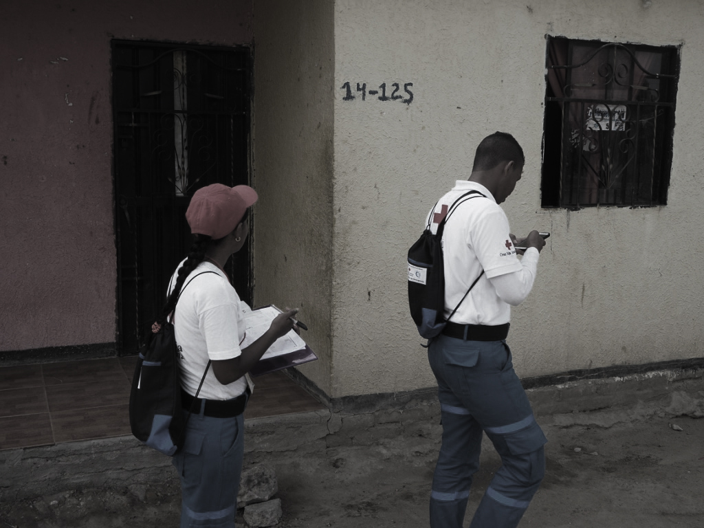
Every year in the Americas more and more people are living in conditions of vulnerability to natural hazards and climate change. To help reduce disaster risk and enhance community resilience in the region, the American Red Cross is working with Red Cross partners like the Colombian Red Cross to address local hazards and vulnerabilities in dozens of disaster-prone communities.
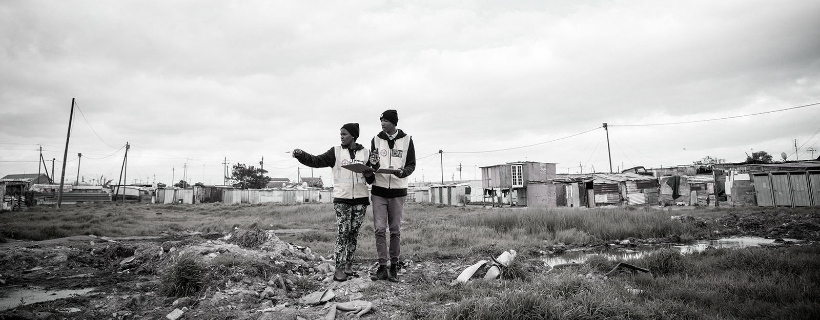
Khayelitsha is home to roughly 400,000 people, covering an area of 39 square km that includes some older "formal" areas and a majority of newer, informal settlements. Red Cross partners have been working in the area and looked into the major concerns the community is facing. Fires are at the top of the list. Red Cross partners are piloting a project to solve this issue : a low-cost, meshed network of smart home sensors affixed to each home within the informal settlement. The American Red Cross GIS team recently set out to Khayelitsha to support the community in mapping the area for better program planning and decision making.