
So you’ve mapped an area as best you can from satellite imagery, now you want to map your community more in detail. Curious about what to do next? This section of the site will help you navigate planning, carrying out, and processing a community mapping activity.
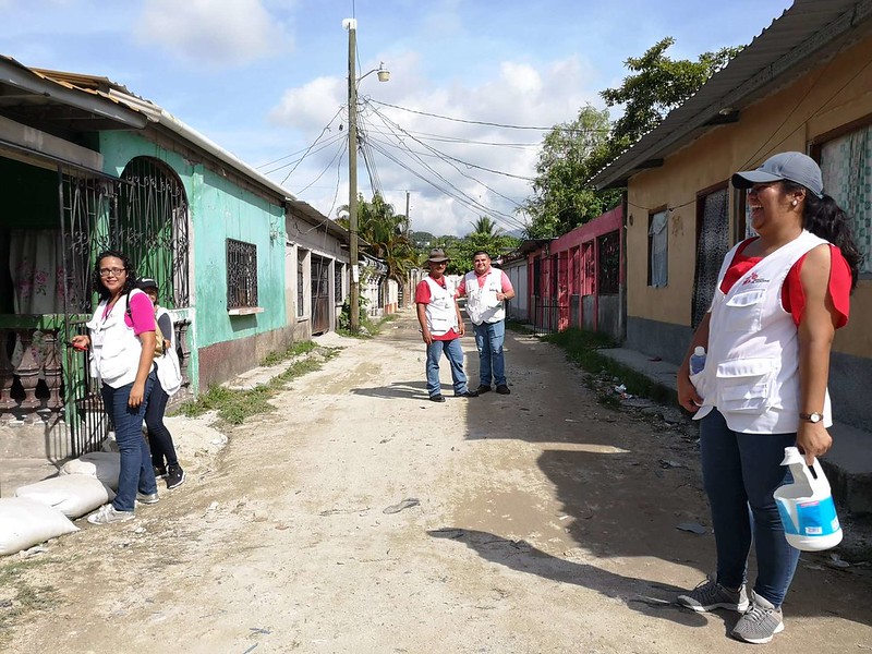
The end goal of this activity is to capture the perspective of unique places and people on the map. To do this, ideally you need a diverse community of mappers who can represent the voices of the locality. Establishing a sustainable culture of mapping takes time and effort and there are many steps you can take to get this started, grow and nurture a community.
Reminder: this is not intended to be a comprehensive guide, but instead to help get you started.
OpenStreetMap is built by volunteers who care about places. Unlike many other mapping platforms profit is not the driving factor to create data. Individuals all have unique perspectives on our surroundings and this is when OSM comes alive, when the color of a community is added. A map will only be as good as the depth and breadth of the voices consulted to populate it. Local knowledge is fundamental to creating a comprehensive and sustainable resource by and for your community. Including the wider community and ensuring their involvement in your project is key.
Before you start mapping, it’s important to assess things like community participation, safely, tool usages, and long term data maintenance. We know you can’t wait to dive in, but first consider:
Privacy:
Should this area be mapped in a public facing way? Despite your best intentions, it is important to consider if and how spatial information can be used against the community you would like to map. Many communities world-wide are accustomed to having detailed public maps of their area. However, even having the absolute minimal information made public can be dangerous for some communities. Other communities may be comfortable with some information being made public but not all. Although you will never get a full consensus from every community member, it is important to consider this at all stages of your work.
Physical Safety:
During data collection, people sometimes get caught up in the mapping and forget about what’s going on in their surroundings. Keep your safety in mind and consider the following:
Who will contribute:
Are there already mappers in the area? Have you reached out and included them in your work? Are you from this community? If not, who will be your local partner(s)? How will you tell the community about your work? OSM Flyers
Priority:
What is of priority to you, what is of priority to your community? Are you the right person to speak on the topic? Are you prepared to talk about what you are doing?
Scale:
Do you just want to go on a map walk in your street? Do you want to collect just one type of feature? Are you looking to plan the mapping of a whole town?
Data maintenance:
What do you want to capture, how do you want to capture this, how long will this data be accurate? What’s your plan for keeping it up to date? Do you have helpers?
Missing Maps does not manage data collection tools, but these are some of our favorite resources from the OSM community:
So now that you have gathered data about a community, you will need to put this information into OpenStreetMap. Depending on how you collected your data, there are a few ways to do this:
Give back your data to the community! Consider hosting a community meeting to share updated maps with local businesses, governments, organizations etc. In addition, consider sharing your data with the wider humanitarian world via a platform like the Humanitarian Data Exchange.