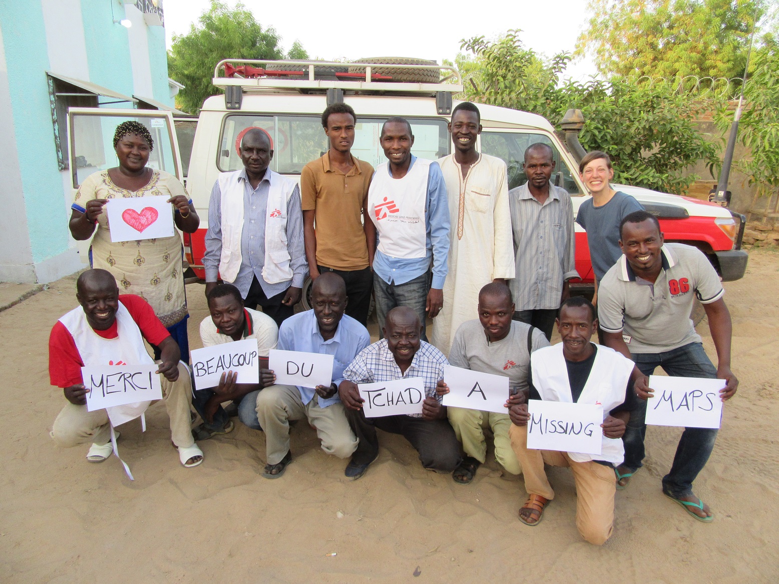
This year, we are thankful for all of you!
Happy Birthday Mappers! It seems like just yesterday that the Missing Maps Project was launched; but this November, the Missing Maps Project turns five. Time flies! When our project first started, we could only imagine what our community would accomplish. Wow, you have all surpassed our wildest dreams! As of this month, over 95,000 of you have contributed to OpenStreetMap to support humanitarian projects around the world. You’ve hosted thousands of volunteer events, consumed millions of slices of pizza, and produced some truly amazing map-cakes.
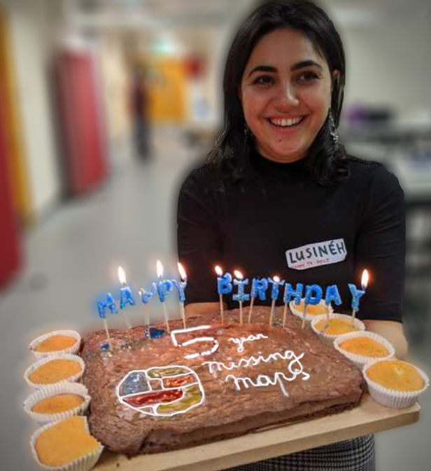
Cakes at the 5th Birthday Mapathon in London.
In honor of our birthday, we asked some of our first organizers share their thoughts on this anniversary:
“Previous to Missing Maps I had seen the power of mapathons to bring people together to help. What was amazing about where Missing Maps has taken this is the scale. That scale we couldn’t have anticipated when we first began.”
- Kate Chapman (Former ED HOT)
“To be on a map is to be acknowledged, is to be known, is to be recognised, is to be counted. It is for the world to know that you are there and that you have needs, that you have rights, and that you must not be forgotten or passed over.”
- Ivan Gayton (Former Innovation Advisor MSF)
“Missing Maps wasn’t yet another humanitarian organization but rather an idea, a creation, an alliance to help others.”
- Dale Kunce (Former GIS Team Manager American Red Cross)
“Unexpected processes, toolsa and tech have emerged from Missing Maps overlaps. Passionate community members and humanitarian institutions all centred around a common aim and ethics are energised and changing what is possible.”
- Andrew Braye (Head of GIS, British Red Cross)
For their full quotes and messages to the mappers, please see below.
5 Year Stats Update:
As we reflect on these past years, we wanted to share with you some of our proudest achievements as well as announce some upcoming initiatives.
Our project has grown from 4 organizations to 18 and we are excited to announce that next year the German Red Cross will be joining our group! Their last mapathons were in conjunction with MSF Germany and Heidelberg Institute for Geoinformation Technology during the Humanitarian Congress and the global Dialogue Platform on Anticipatory Actions. More mapathons will be hosted in Berlin on a regular monthly basis from January 2020 onwards. Katharina Lorenz, Advisor for Geoinformatics, says: “We are excited to become a part of the Missing Maps team. To have such a tool at our hand now, which has successfully supported so many humanitarian aid projects in the past, is a great asset for our work in the area of disaster risk reduction. We have already started to use Missing Maps in our Forecast-based Financing project in Central Asia and we are very much looking forward to involving local volunteers on the ground.” We can’t wait to work more with this group!
Together, we’ve accomplished such amazing things. When we first organized the project, our goal was to map 20 million people. We reached that goal in our first 18 months. Our next goal was to map 200 million people by 2021. We are very excited to announce that we’ve reached our second goal over a year early!
The Heidelberg Institute for Geoinformation Technology/ GIScience Research Group developed a workflow to measure the impact of our Missing Maps project and to evaluate the mapping process and its quality by making use of the HOT Tasking Manager API and their ohsome OpenStreetMap History Data Analysis Framework. Results show that over the years, over 95,000 volunteers finished 2,150 buildings and landuse projects. For further information see here.
The team will for sure also provide further updates to help us better monitor our achievements in the future.
A Year of Blogs
In celebration of our birthday, we are excited to launch A Year of Blogs. Every month, we will be posting a new blog that provides follow-up on one of our longer-term projects. We’ll share the links on our social media channels, so please keep an eye out for those announcements. Our first post will be in December from the MapAction team. They’ll tell us more about their recent work supporting Hurricane Dorian relief efforts in the Bahamas.
How YOU Can Participate:
The Missing Maps Project aims to put the world’s vulnerable communities on the map. Thanks to the awesome mapping contributions over the last 5 years by the Missing Maps community, we’ve gotten a lot closer to our goal of mapping these communities. During Geoweek-2019 alone, over 150 mapping events were organized by community leaders to support Missing Maps!
Interested in getting involved? Looking for an event near you?! If you are interested in joining a mapathon, please see our events page to link up with your local organizers. What if there are no mapathons planned around you? Why not organize a mapathon yourself?! Find our list of mapathon supporters and related training materials and resources that can help guide you. Remember all Missing Maps tasks are on the Tasking Manager. If you aren’t at a computer, you can also map on your mobile device with MapSwipe, available on Google Play and the App Store.
We highly encourage you to also contribute to OpenStreetMap outside of remote mapping events. If you are interested in mapping your local community, we’ve created this maps.me guide to help get you started or you could use the Missing Maps kobo account to add important features from your community. Over the years, our project has gone from local to global and back again many times over, and we hope this trend continues!
Are you interested rather in getting involved in tech development? There are different ways to support, ranging from development of new features to maintenance of existing code. Please reach out if interested.
Thanks Again!
We want to again thank you for the amazing support throughout the years. Happy Mapping!
Full quotes from our first organizers:
In the early days of Missing Maps a large foundation came to me and wanted to know where Missing Maps was registered as a non-profit, they wanted to fund us. My reply shocked them, Missing Maps was pixie dust. Missing Maps wasn’t yet another humanitarian organization but rather an idea, a creation, an alliance to help others. The founders of Missing Maps are people that will be lifelong friends. Pete Masters and Ivan Gayton were amazing provocateurs and motivators to always move faster, Kate Chapman constantly grounded our language and our desires in the local, and Andrew Braye gave us structure and organization. Pixie dust and comradery still drives Missing Maps today. Still today, no one group “owns” Missing Maps.
I am proud to have played my small part in helping communities around the world better document their own world. I am enthusiastic of the next generation of leaders working more closely with communities than ever before. I am excited to see how much mapping pixie dust we can spread around the world.
- Dale Kunce (Former GIS Team Manager American Red Cross)
Wow, five years already!
When we began the Missing Maps project I envisioned it as a finite endeavor that shouldn’t last more than 4 years. The idea was: what if instead of relying on media coverage of crises to generate volunteer engagement to map after disasters had already struck, we used the power of humanitarian movements to build a community to map the homes of vulnerable people before disasters? I explicitly wanted it to be limited in scope—as a primarily outsider-driven effort I didn’t want to displace local mapping communities, but rather focus on those areas where conflict, extreme poverty, failed state mechanisms and other barriers made it difficult or impossible for local civil society to map. In other words, to focus on “classical humanitarian” contexts. I felt that we should define a criteria for success, work as hard as possible to reach it, and then stop.
My idea of success for the Missing Maps was: Open, community-generated map data is the best, first-choice repository informing humanitarian action, and therefore open maps are seen as necessary infrastructure. I thought that if OpenStreetMap and similar free (as in freedom), open data repositories became obviously more useful in crisis than proprietary commercial offerings, they would become the default and be seen as necessary infrastructure. Remember, when we began this effort, the map platforms being used in humanitarian action and crisis response were almost exclusively either a USA-based commercial Web map platform and/or curated GIS maps from humanitarian coordination agencies (who as a rule would share only PDF and printed paper maps with operational agencies). The maps would then be maintained by users; all we had to do was make them sufficiently good to attract those users in the first place. We just needed to “prime the pump” by gathering a community of digital volunteers to create a good basemap layer in the most vulnerable parts of the world.
We blew past this original milestone for success in 2014 during the West African Ebola crisis. In 2004 in the Darfur conflict response, the only games in town were a relatively new-fangled Google Earth and the OCHA GIS analysts. Aid agencies hoarded KML and GPX files, or occasionally made clandestine swaps by USB stick with like-minded colleagues in other organizations. In Haiti in 2010, using OpenStreetMap data was an interesting new idea, practiced by a couple of innovators alongside the “proper, professional GIS” being done by the cluster coordination. By the time Typhoon Haiyan hit the Philippines in 2013, OpenStreetMap was at least co-equal with the closed data. In the West African Ebola outbreak in 2014 open, community-generated map data was unquestionably the dominant source of geographical information. Open map data is now the default for humanitarian and crisis response. So why didn’t we declare victory and move on? Why do we still need the Missing Maps? Because what I had originally seen as success turned out to be no more than a starting point. I had failed to anticipate the range of uses for open map data. I was focused on patient origins and spatial epidemiology—still critically important but not the only impactful use—and did not realize the importance and possibilities of locally-driven field mapping. The remote volunteering and mapathons, which attracted a startlingly diverse and extraordinarily passionate volunteer community, have now largely accomplished the original goal of creating the base-map vector features. There’s more to be done, to be sure, but the key gap is no longer digitization, it’s local knowledge and ways to operationalize the data.
The ultimate goal of humanitarian action is to save life, alleviate suffering, and restore dignity. Mappers cannot claim to save lives directly; if we are to have an impact it is by facilitating those who are saving lives (or helping themselves). To reach its full potential, the Missing Maps must not only provide basemap data, but to enrich them with local knowledge and see that the maps are put to use. I now see three phases of Missing Maps action: 1) Create a base layer of vector data across the most vulnerable areas of the globe using digital volunteers 2) Infuse local knowledge into the map using field mapping campaigns in collaboration with local people (the most critical local knowledge being local place-names, landmarks, and administrative divisions—without which we cannot disambiguate locations described by people in their own words). 3) Actively partner with people working to save lives, alleviate suffering, and restore dignity to make them more effective using our data, skills, and knowledge. The Missing Maps has basically succeeded at phase one. Phase two is in progress; many of us are increasingly engaged in work with local communities to add the local information to the map that makes it useful and relevant to people working in these contexts. Phase three has, in my view, not yet even properly begun. Sure, a few well-funded agencies have better GIS support as a result of the Missing Maps, and there are sporadic uses of Missing Maps data arising spontaneously here and there throughout the humanitarian field, but humanitarian action and crisis response are still nowhere near achieving the additional effectiveness that a truly inclusive global community of mapping practice could provide. For example, in the current Ebola outbreak in the Democratic Republic of the Congo, patient origins are still poorly understood. This is not even to speak of the colossal gap in disease surveillance throughout the low-income world, the lack of accurate demographic data for public health and services, the desperate lack of transparency in land titles, or the difficulty in navigating the more or less informal settlements that one-quarter of humanity live in. The Missing Maps should be saving and improving many more lives. It can do so once we are working directly with people on the front lines, understanding their problems and constraints, and working with them to operationalize map data. There are hundreds of thousands of health centres in Africa awaiting the support needed to properly understand their patients’ origins and act upon them to reduce disease burdens. There are aid agencies, civil servants, private businesses, taxi drivers, public health ministries, environmental activists, scientists, farmers, and pizza delivery bicyclists waiting for our help (in some cases whether they know it or not). The Missing Maps must become much more than a digital volunteer community, it must become an inclusive global movement to empower all of the things that save and improve lives. Finally, maps themselves can in some small way contribute to human dignity. To be on a map is to be acknowledged, is to be known, is to be recognised, is to be counted. It is for the world to know that you are there and that you have needs, that you have rights, and that you must not be forgotten or passed over. This requires more than a nice map on the Web made by digital volunteers and aid agencies, it requires working together with the inhabitants of the previously neglected places in the world. Five years in, the Missing Maps has seen success beyond our wildest dreams. But it turns out the work is just beginning, and we must go beyond our original digital volunteering mandate to achieve our full potential. Let’s get to it, shall we?
Onward,
- Ivan Gayton (Former Innovation Advisor MSF)
During my time at HOT the vision was to allow people to put themselves on the map. That in same ways got overshadowed by the digital volunteerism, but I don’t think it is all bad. After all people didn’t even know there were places without decent maps before. Ivan is right though it does require a shift in approach to realize the dream of people mapping themselves since working in those locales does take a lot more commitment, funding and time than mapathons.
Previous to Missing Maps I had seen the power of mapathons to bring people together to help. What was amazing about where Missing Maps has taken this is the scale. That scale we couldn’t have anticipated when we first began. It could have been just the founding organizations stayed on, but instead so many more have joined.
- Kate Chapman (Former ED HOT)